In the 1990s, most organizations developed monolithic platforms that embedded engineering design in their geographic information systems (GIS). While the concept of going to those common “suites” made sense at the time, it failed to address the needs of the GIS-mapping technicians and computer-aided design (CAD)-based engineering designers.
Interestingly, despite the fact that utility designers and spatial analysts have been debating for at least a decade against design frameworks embedded with GIS, many organizations continue to use them.
The legacy systems have had a fundamental set of issues since they were originally conceived:
- They don’t support the different graphic standards required for design and GIS.
- They’re not sufficiently accurate.
- They don’t have the necessary information to support thorough engineering-design work.
- They’re highly customized and extremely difficult (and costly) to upgrade
The advent of GIS as a platform has opened the door for utility organizations to transform their use of legacy-engineering design systems embedded in GIS into integrated utility workflows that addresses the above issues.
GIS becomes a platform
Skye Perry recently contributed an article to T&D World, “The Future of GIS – The System Becomes a Platform” that explains a fundamental change going on in the GIS world.
He explains how GIS is becoming less specialized, allowing utility organizations to use it in new and powerful ways. For example, Perry notes that GIS will soon be accessible from any device and from anywhere, using data from GIS servers.
That marks a drastic change in the system, which not long ago was accessible only from desktops through products such as Esri’s ArcCatalog and ArcMap. The ability to gain access to GIS remotely can fundamentally change the way utility organizations build systems and best-of-breed products.
As a result, utility organizations that attempt to use GIS for engineering design applications no longer need to avoid using the best tools to accomplish their work. By focusing on integrated utility workflows instead, they can drastically improve their efficiency.
Advantages of CAD within an integrated utility workflow
The most prominent challenge with using GIS as a primary engineering design tool is that it’s simply not as accurate or useful as performing designs in a CAD-based tool. GIS is fundamentally used to support operations by providing safe, legible maps.
On the other hand, CAD-based design is required to provide highly accurate instructions to support the construction process. In more than one case, inaccurate designs have created serious problems, and in some cases even safety issues.
Historically, all the rich data and powerful analysis available in GIS has not been tapped to generate better designs and workflows when working from within CAD. The question to ask is: If you’re using GIS as a primary engineering design tool for utility systems, but still have to use a spatial analyst to counteract the inaccuracies of GIS features, is it helping you? The answer is often “no.”
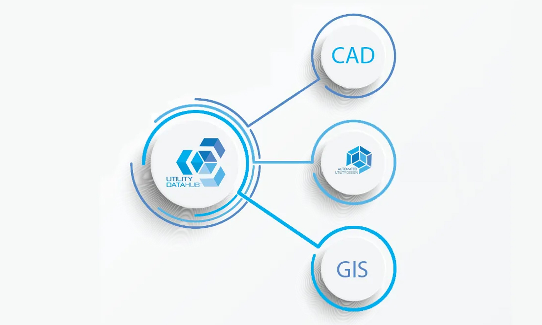
Automated Utility Design™ (AUD), from SBS, is a model-based design software that uses the power of AutoCAD®Map3D to take information from sources such as Work and Asset Management, CAD-based design files from engineers and developers, and GIS to automate the design of utility systems and integrate design workflows accurately.
SBS has an advanced suite of integration modules, Utility DataHub™, that allow organizations to get the most out of GIS while reducing the time it takes to design and construct systems. Here are just a few benefits organizations can expect when integrating software such as AUD into their utility workflow:
- Improved design quality
- Improved designer productivity
- Reduced costs in training and change management
- Better information to support operations and business analytics
- More-timely access to important data and information
If you’re interested in streamlining your utility design workflows, SBS has an annual conference, the Peer Utility Group (PUG), that highlights the successful approaches that have been taken by utilities, large and small, to streamline their workflows with AUD and Utility DataHub™. Interested parties are invited to attend the next PUG meeting at Puget Sound Energy in Bellevue Wash., August 26-29, 2019.
If you can’t make it, you can learn more about how we can help you revolutionize your utility workflows by visiting our website.
