ADVANTAGES OF DESIGN INTEGRATION WITHIN ESRI’S UTILITY NETWORK
Many utility organizations are moving to Esri’s Utility Network Management extension (UN) and are finding that the process introduces fundamental changes in how they implement their data creation and maintenance workflows. The transition from a mapping-centric geographic information system (GIS) to a network-centric GIS requires a new approach to ensure that business practices properly maintain critical utility network information.
The utility distribution design process is critical to maintaining and expanding the network model. Here, we provide examples of how Automated Utility Design™ (AUD), an AutoCAD-based utility distribution design tool from Spatial Business Systems, interacts with the Esri UN and the value that’s provided when migrating to the UN.
AUTOMATED UTILITY DESIGN AND HOW IT COMPLEMENTS ESRI’S UTILITY NETWORK
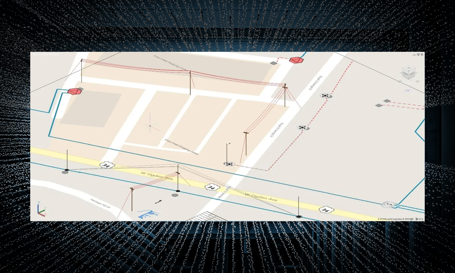
AUD is an application extension to AutoCAD software that provides a structured, easy-to-use environment for automating the design of distribution utility assets. Designs are laid out based on an organization’s construction, engineering standards, and business rules. The software is used to support projects that range from simple maintenance work orders to large, highly engineered capital projects.
While GIS is concerned with providing digital modeling and mapping support for utility networks, AUD is used to provide detailed design information to support safe and effective construction of the network. A key benefit of AUD is that it introduces standardization to the utility network-design process. AUD also allows users to use GIS and AutoCAD software to model and visualize various network layers.
HOW AUD AND UN WORK TOGETHER
Design workflows rely heavily on geospatial information to provide the necessary data to enable design. The addition of UN makes richer information available to support the design process, and the design tool complements the process by keeping the GIS utility network up to date. Although there are several integration points, these linkages are particularly important:
• Base geographic data: The GIS provides the necessary base map to initiate the design process. The addition of network-based data facilitates the ability to define the work location affected by design and supports the creation of the project work area.
• Design-based analysis: During the design process, it’s necessary to support engineering analysis unique to the enhancements being planned for the network, including voltage-drop analysis, flicker evaluation, and underground pulling tension support. This analysis is typically performed within AUD.• System-level analysis: An Esri environment with a valid UN for ArcGIS Enterprise becomes a platform that enables AUD to perform system-level analyses needed to support the broader implications of the design improvements. Examples include circuit- and system-level load flow analysis and impacts on customers that may occur to support activities such as planned outages.
Those data sources and subsequent analyses deliver critical information to enable an efficient, high-quality design process. The design-specific requirements of the workflow demand a set of data transformation and business processes: • Ability to support compatible units from the work orasset management system
• Augmentation of the GIS data with more-detailed asset information required to support design
• Transformation of data from cartographic standards to construction standards
• Engineering properties to support calculations
• Network validation
The integration of the GIS and design-data sources provided by Utility Network, AUD, and Utility DataHub™ is a powerful synergy that pays valuable dividends as design solutions are able to leverage GIS network information.
HOW DISTRIBUTION DESIGN ENABLES UN MIGRATION
Introducing a model-driven design tool such as AUD into utility work management workflows is an important consideration when planning an Esri UN migration. Implementing AUD accomplishes several key things that can make the migration structured and attainable with limited risk. Here’s how it works:
• First, existing geometric (or other legacy) network must be mapped to AUD’s internal network model. The model is highly compatible with UN, and the integration specifications effectively become a set of system-level mappings to support the migration.
• Next, the mapping exercise identifies model deficiencies that may exist in the system. Having a network-based application such as AUD becomes a very effective testing mechanism to support application functions such as voltage drop. The analysis also becomes a very powerful validation of network quality.
• Finally, integrated design capabilities provide valid network information to ArcGIS to build and maintain the operational network model,allowing business workflows to keep the system up to date while reducing manual editing requirements typically handled by the mapping and drafting departments.
Once that’s in place, the migration to a next-generation GIS based on UN can be quite straightforward. The remaining migration efforts center around implementing mapping standards and user change-management. While not trivial, these steps are well-understood processes that can be addressed as part of the overall migration.
VALUE OF DESIGN AND GIS WORKING TOGETHER
Utility Network is forming the foundation for a much more advanced GIS to support the operational needs of utility organizations. When migrating to UN, utilities can generate several benefits by adding a well-conceived integration of utility distribution design to their Esri platform.
As you plan your migration, please consider the design process and how it can help facilitate the migration. The approach outlined above can structure your migration and greatly reduce your overall
costs when making the transition to UN. Implementing the externalized design tool also puts a framework and associated business processes in place to keep your network up to date. This can be particularly critical for electric utilities that need a robust network model to support the smart grid.
At a practical level, implementation of an integrated design tool can take advantage of all the benefits of CAD-based performance and ease of use while making the power of geospatial data available. That can greatly improve design productivity and eliminate manual steps that lead to data-entry duplication.
As always, we welcome your feedback. Please reach out to us with your comments and questions.