News & Events
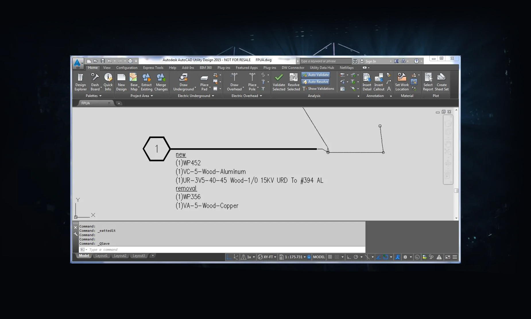
AutoCAD® Utility Design: Work Location Feature – Callout and Categorize Material Status
This post is to inform how to configure the core AUD capabilities to callout and categorize material internal status (e.g. install/removal) at each work location....
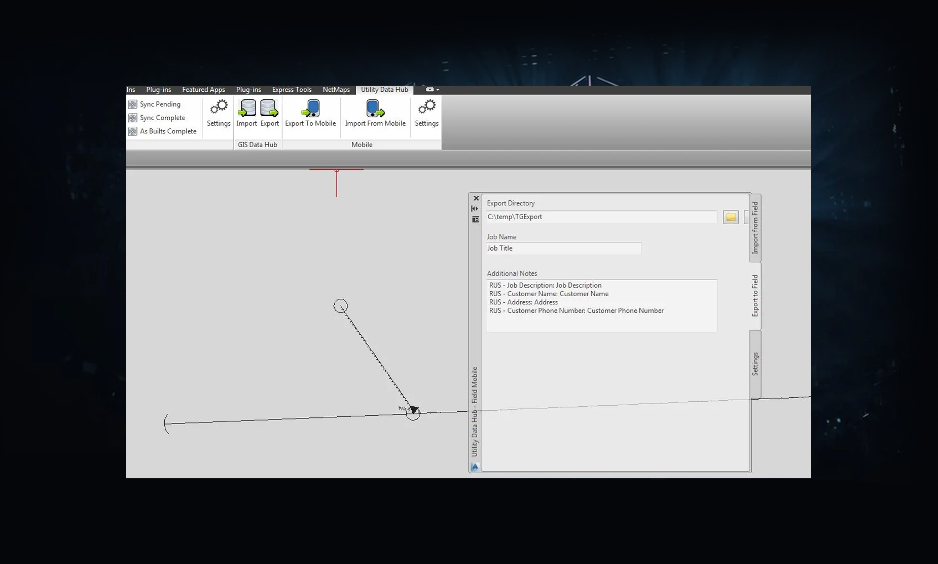
GPS and Design Integrated by Utility DataHub – Mobile Trimble Solution
SBS has partnered with Tri-Global Technologies, LLC to bring mobile device functionality to the Utility DataHub™ suite of integration tools....
What Can Utility GIS Leaders Learn from the San Bruno Explosion?
On September 9, 2010 a 30–inch diameter natural gas pipeline owned by Pacific Gas and Electric (PG&E) exploded in a quiet neighborhood in San Bruno, California, killing eight people and destroying 38 homes....
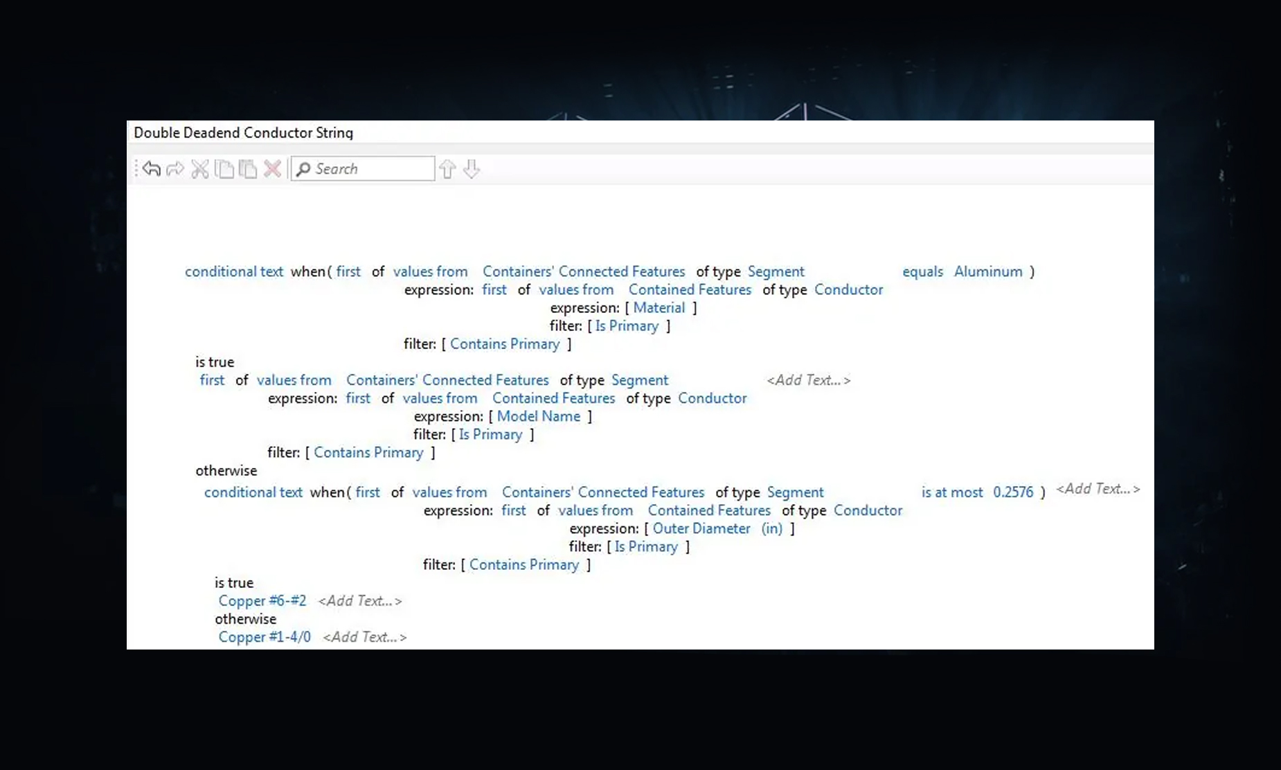
Detailed Material Generation for Combinations of Features in AUD
Fort Pierce Utilities Authority has a comprehensive material library they use in design, which gives them costing estimates down to the bolt....
How to Maximize your Autodesk University (AU) Experience in 2014
When trying to understand a new concept it’s best to collaborate with peers who have had similar experiences....
The Professional Ethics of GIS – Why Data Quality and Information Management Matter
Nearly 20 years ago I had the opportunity to learn a chilling lesson from a seasoned GIS manager who worked for a large gas utility....
Using Spatial ETL in a Multi-Vendor Enterprise GIS Environment – Presentation
Click below to see the Power Point Presentation. Using Spatial ETL in a Multi-Vendor Enterprise GIS Environment-2014...
Using Spatial ETL in a Multi-Vendor GIS Environment (Part 3)
This post addresses the use of database-centric architectures in large-scale enterprise GIS environments. ...
Customer Samples
http://www.youtube.com/watch?v=zGvh73c4Kd4?&w=550 http://www.youtube.com/watch?v=DjMo_GN4pvQ?&w=550 http://www.youtube.com/watch?v=zGvh73c4Kd4?&w=550...
Complimentary Software Checkup
Are you looking to get the most out of your software investments? Take advantage of this ECA Member special, with no strings attached. SBS will do an onsite visit to provide an in-depth analysis of your current usage and how to improve the overall...
Independence Power & Light Selects SBS Utility DataHub™ to Integrate Milsoft and GIS
Independence Power and Light (IPL) has spent 100 years delivering electricity to their customers with the lowest possible price and the highest levels of customer service....
360° Workflow Analysis – Staking Analysis with Engineering
Ensuring infrastructure integrity has never been more important than it is today. Increased regulatory scrutiny, aging infrastructure, joint pole use and smart grid deployments require the staking process to be more than just placing and tracking assets. Staking today needs...
Tri Global Trimble AUD Integration
Click below to see the presentation. Tri Global AUD Integration...
Milsoft-DistriView GIS Integration
Click below to see the presentation. Milsoft-DistriView GIS Integration (PUG Milsoft Interface)...
Using Spatial ETL in a Multi-Vendor GIS Environment (Part 3)
This post addresses the use of database-centric architectures in large-scale enterprise GIS environments. ...
Using Spatial ETL in a Multi-Vendor GIS Environment (Part 2)
As described in my previous post, GIS architectures are evolving from environments where all the functionality resides in the corporate GIS platform to new architectures where external applications are providing capabilities that have historically been performed within the corporate GIS. ...
Populate an AUD model field from Drawing Properties
The question has come up, “how do I populate a custom field in an AUD model from the Drawing Properties. Specifically a Work Order number. This is easy to do, but not easy to figure out. AUD doesn’t always make...
Setting up read-only access to SQL Server when using AutoCAD Utility Design Data Extraction Tools
To limit a user’s ability to write back mapping data with the AUD merge back function requires three actions: Set up Read-only user in SQL for general AUD users. Set up of the extraction mapping file and save it in...
Using Spatial ETL in a Multi-Vendor GIS Environment (Part 1)
I was involved with my first GIS migration project in 1987. The client, a large electric utility, had a business requirement to merge three different organizations that were all using different geospatial systems. One system was home-grown, the other was...
Using Block Attributes to Automatically Label AUD Features
This post describes how to set up and use attributes to automatically label AUD features. For example when you place a transformer in AUD it is automatically labeled with the kVa rating: The process is very simple and uses standard...


